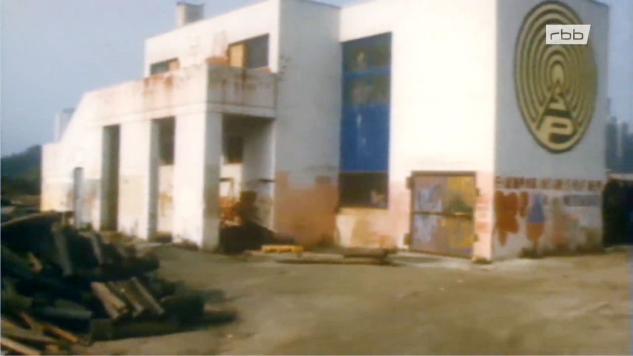
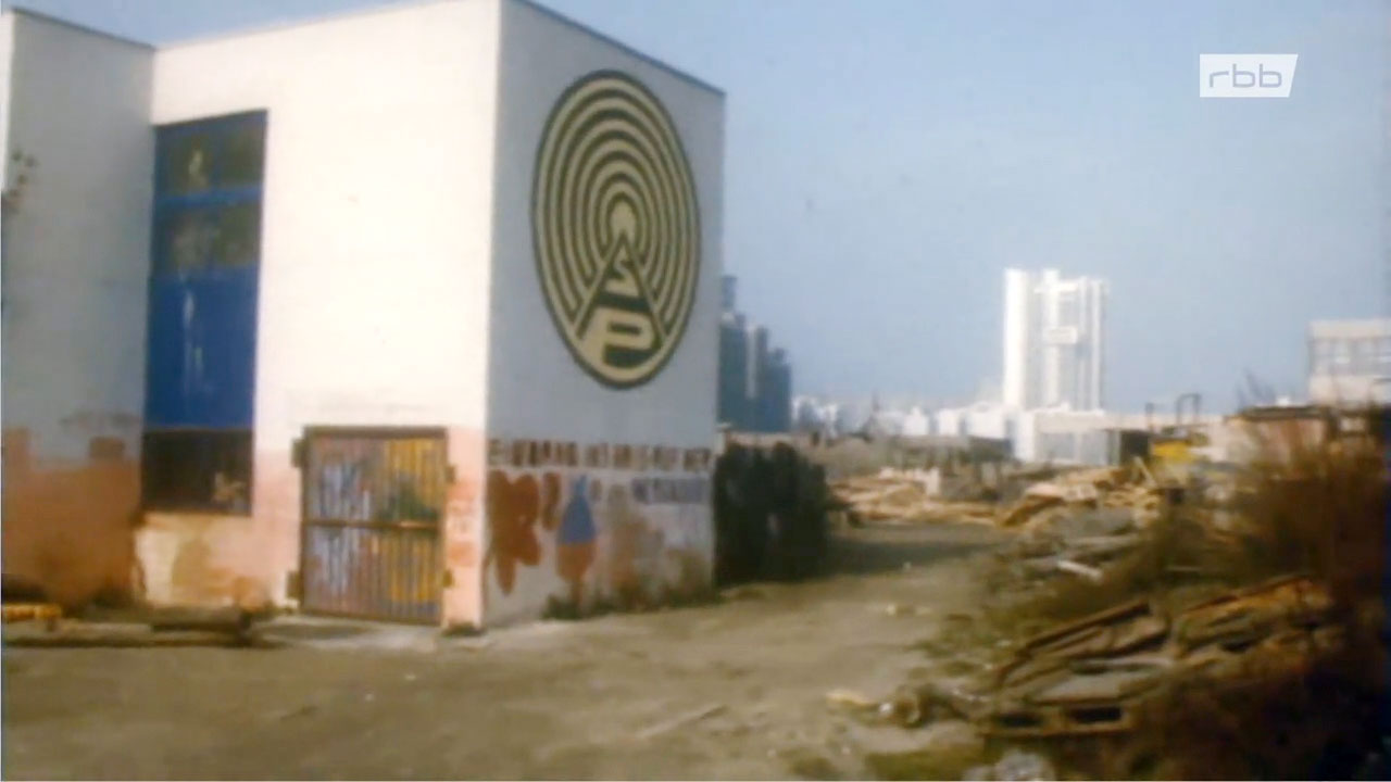
Does anybody know where the “Betonsilo” was?
Please help.
Credits: data is credited to “© OpenStreetMap contributors”. The data is available under the Open Database License. | Data also credited to: HistMapBerlin | Graphics, adaptation and code are mine and are licensed under the Creative Commons Attribution-ShareAlike 2.0 license (CC BY-SA 2.0).
These frames are credited to: ARD Mediathek. Source: Berlin – Schicksalsjahre einer Stadt: 1977 ∙ rbb Fernsehen. Licence: ARD Nutzungsbedingungen.


Leave a Reply