Credits: data is credited to “© OpenStreetMap contributors”. The data is available under the Open Database License. | Data also credited to: HistoMapBerlin | Graphics, adaptation and code are mine and are licensed under the Creative Commons Attribution-ShareAlike 2.0 license (CC BY-SA 2.0).

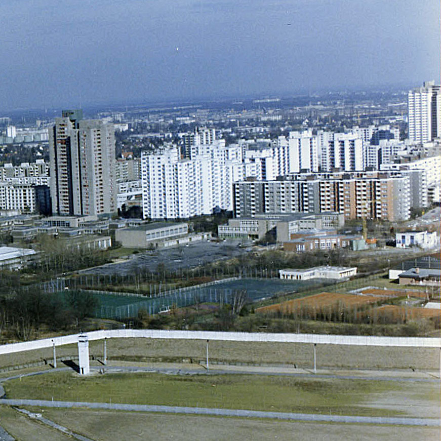
Copyright: Stasi Mediathek. Source: Luftbildaufnahme der Berliner Mauer an der Grenze zur Gropiusstadt in Berlin-Neukölln.
It’s the low, gray building in the middle.
Leave a Reply