Credits: data is credited to “© OpenStreetMap contributors”. The data is available under the Open Database License. | Graphics, adaptation and code are mine and are licensed under the Creative Commons Attribution-ShareAlike 2.0 license (CC BY-SA 2.0).
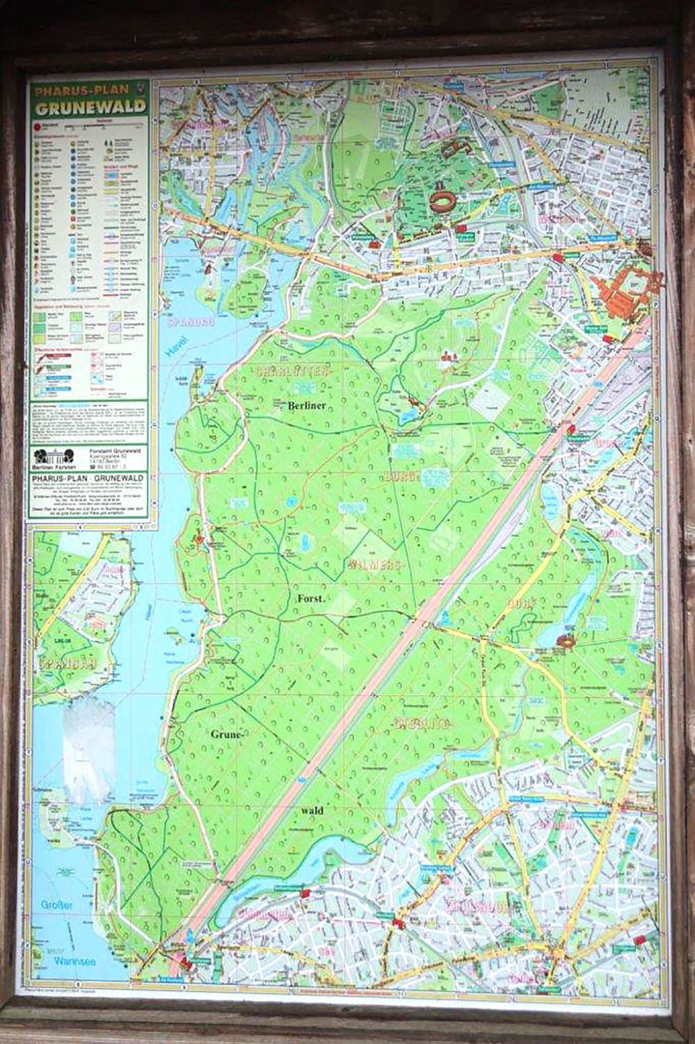
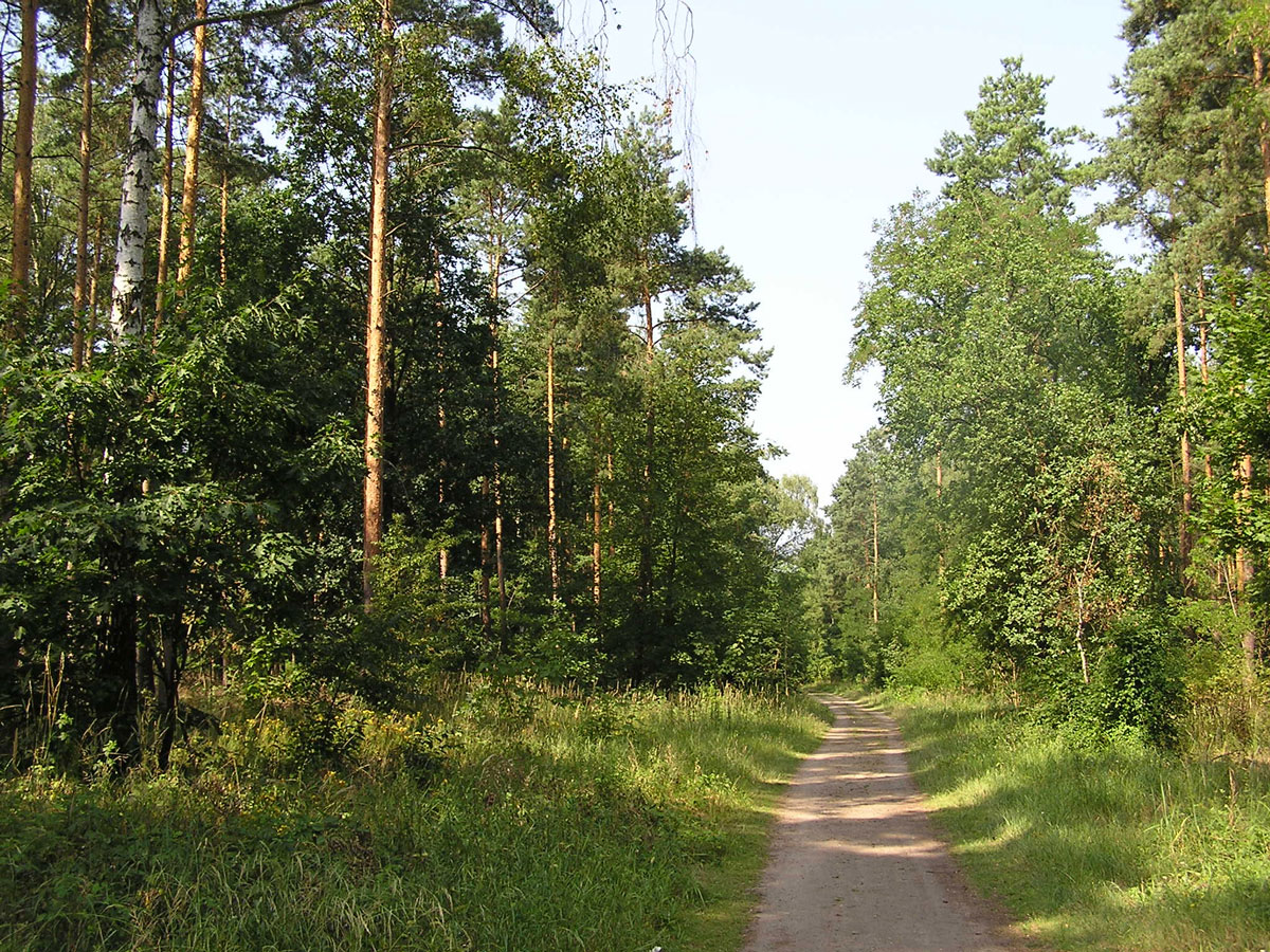
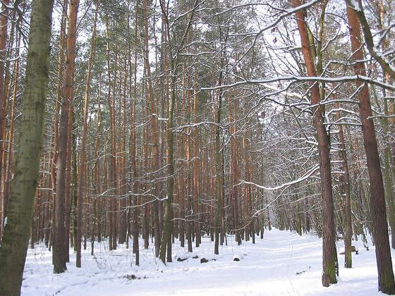
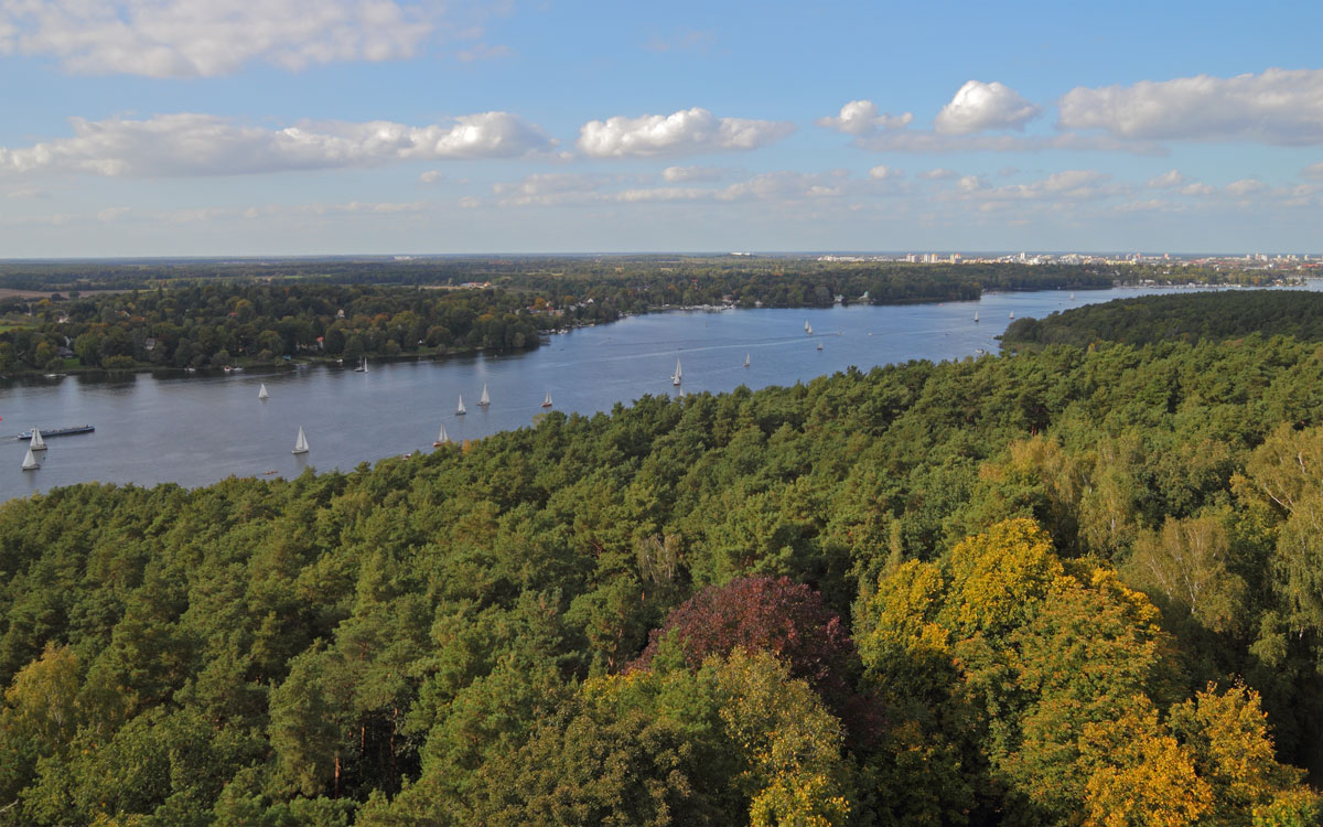
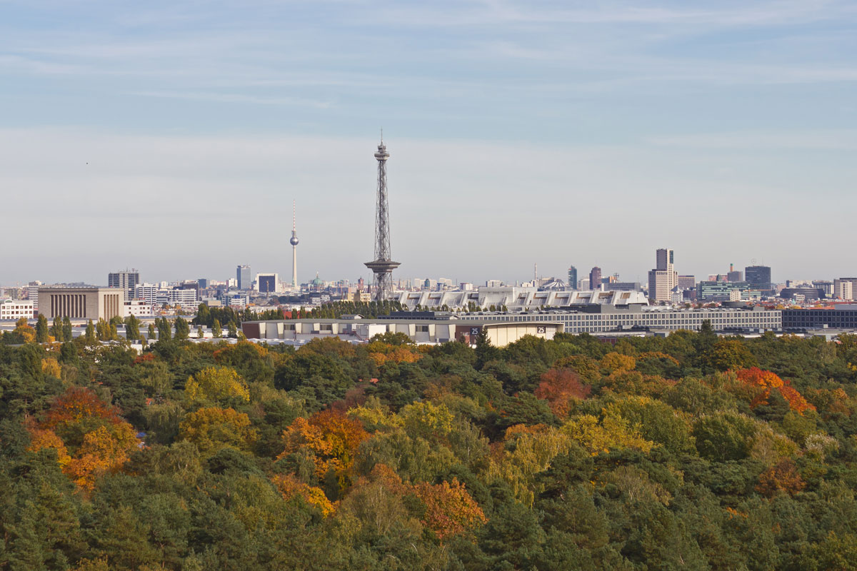
Grunewald […] is a German forest located in the western side of Berlin on the east side of the Havel, mainly in the Grunewald locality. At 3,000 hectares (7,400 acres) it is the largest green area in the city of Berlin. […]
There are two islets located off the forest in the Havel (Lindwerder and Schwanenwerder) and a small peninsula (Schildhorn); and the tallest point is the hill of Teufelsberg, which is 117 meters (384 ft) above sea level. […]
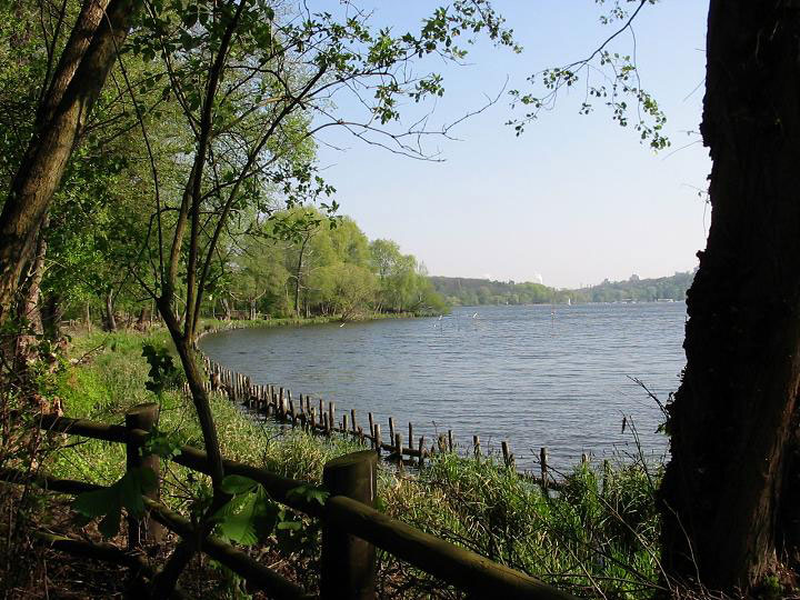
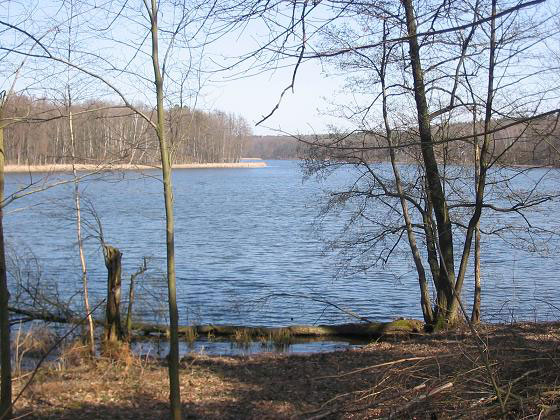
Beyond the river Havel and part of the Großer Wannsee lake, the forest is rich in lakes and ponds. The biggest are the Schlachtensee, Krumme Lanke, the Grunewaldsee and the Hundekehlesee. […]
“Grunewald (forest)” Wikipedia, Wikimedia Foundation, 25 June 2023, en.wikipedia.org/wiki/Grunewald_(forest).
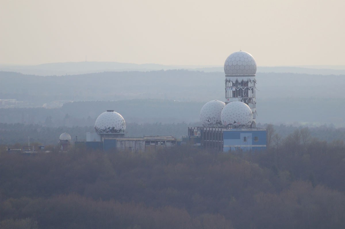
During the Cold War, the US occupying forces stationed in West Berlin blocked large parts of the Grunewald in their sector for various military purposes […] ammunition depots […] and a monitoring center on the Teufelsberg. With the exception of the latter, all former military bases have been demolished and their areas have now been largely renatured, so that the Grunewald conservation area has increased by more than 40 hectares.[…] (Wikipedia)
“Grunewald (Forst)” Wikipedia, Wikimedia Foundation, 25 June 2023, de.wikipedia.org/wiki/Grunewald_(Forst).
Grunewald has always been a point of attraction for Berliners for sports and outdoor activities.
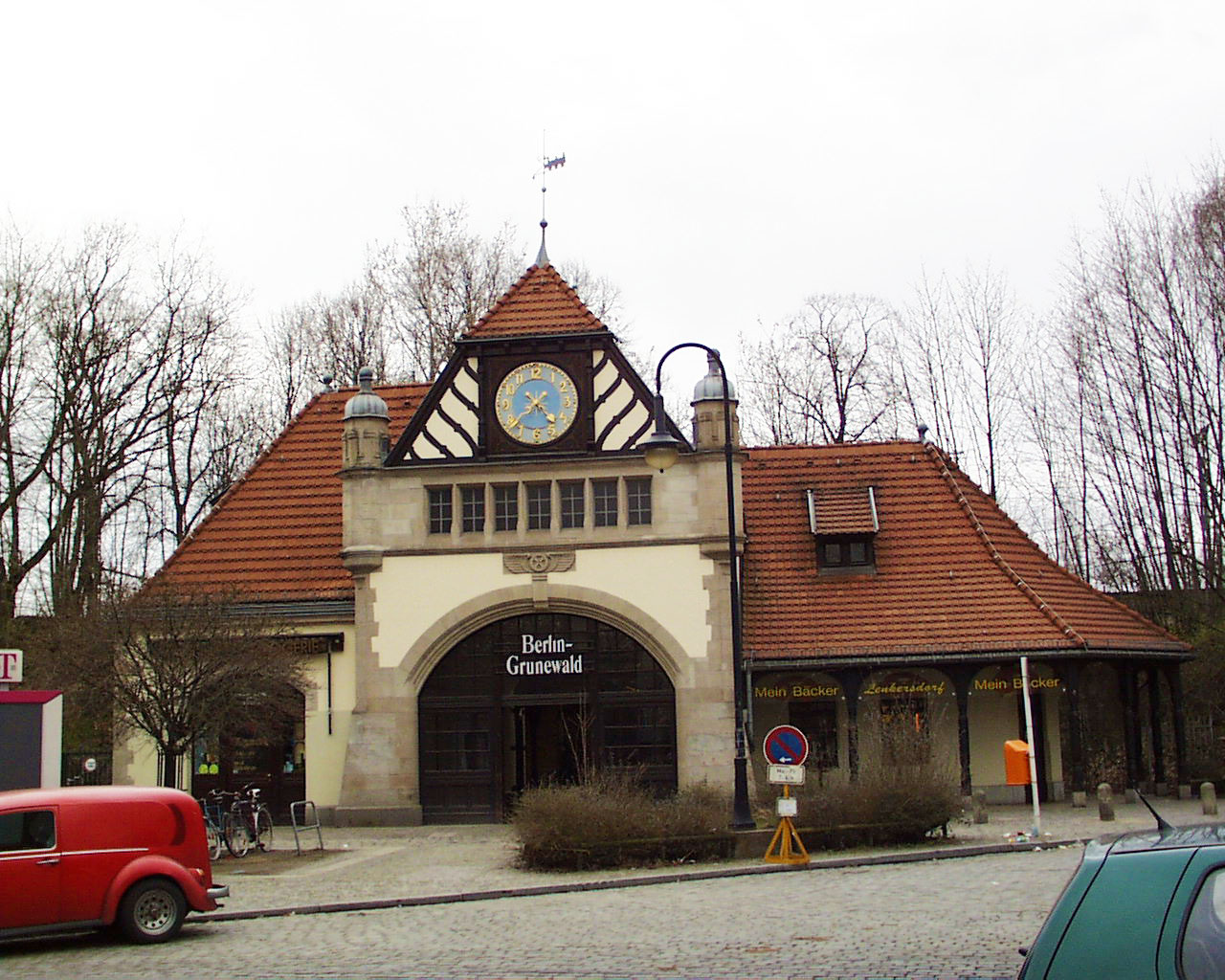
Since Christaiane and Detlef moved exclusively by public transport, I assume they went there using the line S-Bahn 7 so I have included a picture of the station too.